eddy_duyung wrote:Dear Admin,my suggestion..the TANGKAK Tracks And POI should be change its title to " LEDANG " ,because it's more specific,which will be included area from Tanjung Agas to Kebun Baru which now its known as " Daerah Ledang " ,major town in " Ledang " is as below.
1. Tangkak
2. Sungai Mati ( Included Tg. Agas )
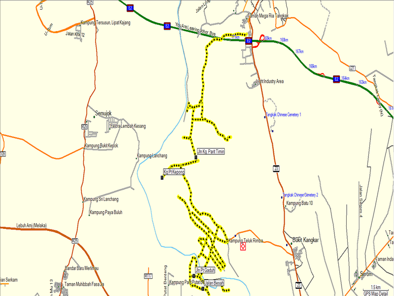
3. Bukit Gambir ( Proposed high Way Exit - E2 )
4. Grisek ( Bordered With Muar District )
5 Kebun Baru ( Bordered With Jementah - Segamat District )
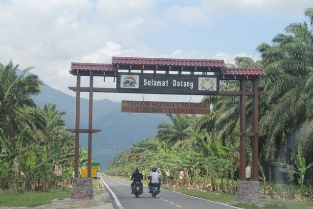
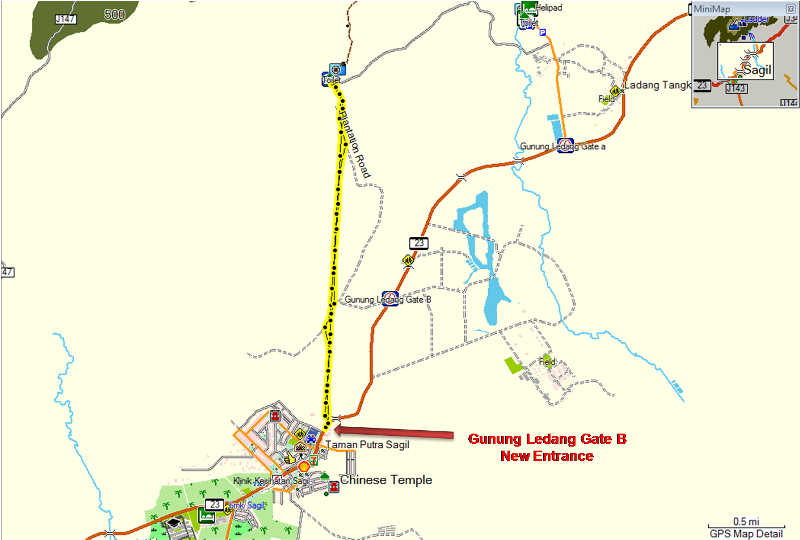
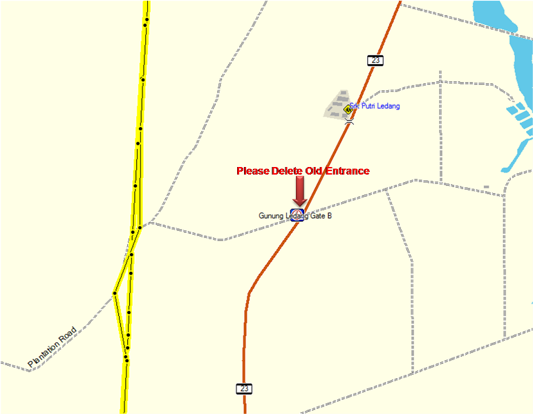
6. Sagil ( Gunung Ledang / Mount Ophir ) - ( Bordered With Asahan-Malacca )
This is just my opinion. TQVM
Thanks for the value information.
Our Title of the Thread is based on the convenience of mappers to collect the tracks and POIs for the map and it's base on the area by the mappers, sorry to say that it's not base on the local council. As you mentioned some of the area already covered by other thread, so I think just stay as we have now to avoid confuse.
Anyway, thanks for your suggestion and contributions.


 bro eddy.