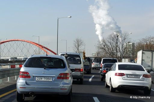
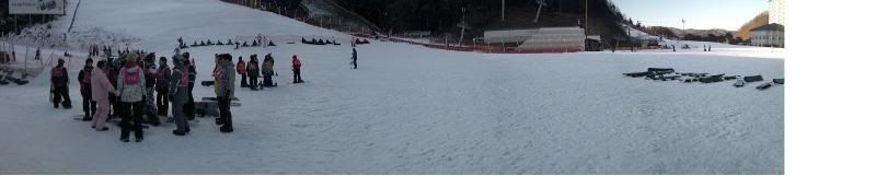
DMZ [Pt.1]It's about -10C as we make our way out of metro Seoul. Traffic is bad as more people drive to work today to escape the extreme cold when using public transportation ... and this is a rare sight - two European cars side-by-side in Seoul.
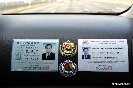
Mr Han proudly displays his credentials in his Kia MPV cab, though I wonder what sort of English test he went through. His English is pretty horrendous, but he makes it up with his niceness.

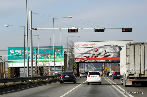
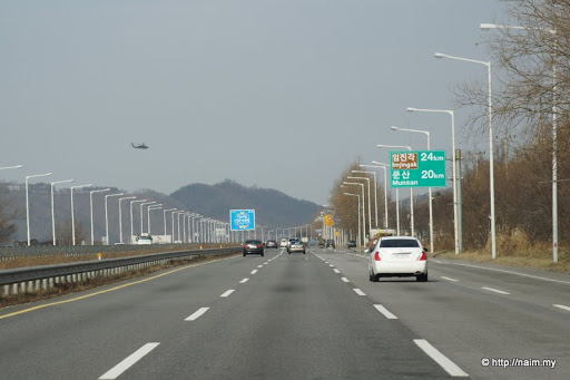
It's less than an hour away to the North Korean border via this modern expressway, but do not allow those billboards fool you. They are camouflaging huge concrete structures which can be quickly toppled to provide a potent barrier to invading North Korean tanks and troops advancing towards Seoul.
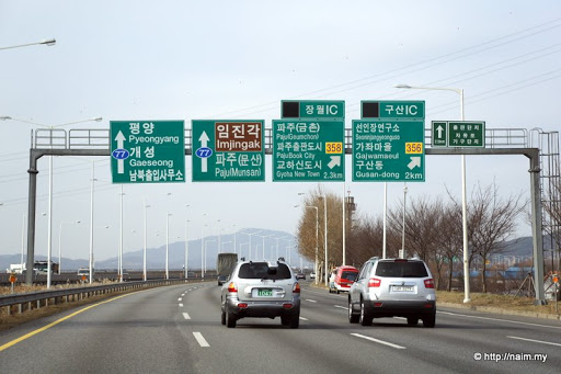
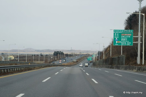
Note the direction to Pyongyang, capital of North Korea (it's just for show, you can't really drive there, hahaha!). This is the so-called Freedom Highway, to emphasize the fact that if North Korea is 'liberated', its 'freed' horde would come streaming along this way to Seoul. I tell Mr Han, not necessarily a great idea since Seoul, already bursting at it seams trying to accommodate its own citizens, would be swamped with millions of poor, hungry and unemployed North Koreans. He agrees.
I'm reminded by the fact that we are in a war zone by the chatter of an army chopper crossing the expressway.
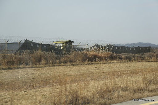
We round a hill, and there in front of us, the territory of the Democratic People's Republic of Korea (DPRK), separated by the Republic of Korea (ROK) by the Imjin River DMZ. At the nearest point this expressway is just 2.5km from the North Koreans. Needless to say, the river bank is heavily fortified and manned by armed troops.
By the way, I even spot a new Kia model (complete in black camouflage) being test-driven on this not-so-busy road. Business as usual, no problem.
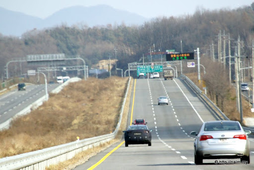
Suddenly the traffic disappears and we are left alone in a desolate part of the road to Pyongyang.
Fortifications on the Imjin river bank is a stark reminder of an unfinished business.
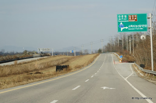
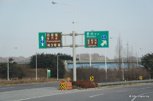
The highway goes on to the famed border village of Panmunjom (and eventually Pyongyang, if you can make it), but we have to exit to Imjingak. With the current very high tension between the two Koreas (thanks to the shelling of Yeonpyeong just 3 weeks ago), the whole place is on 'amber alert' here, and we don't think we can go far if we take that straight road.
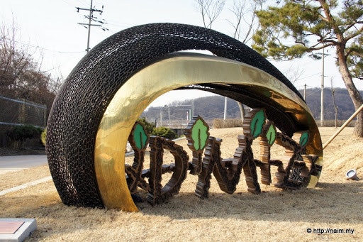
Imjingak is a rather clever commercial exploitation of the whole DMZ thingy. This is where visitors come to have a feel at the cold war tension between the only divided state in the world. The DMZ proper (with its fences, border posts, armed guards, landmines, etc.) is just 3km away beyond the hills.
There's a rail bridge across the Imjin river here, called the Bridge of Freedom for obvious reason, and at the other side (which is South Korean territory), a station is built very close to the DMZ. The train line goes all the way to Pyongyang, but of course no trains ply this route. So this modern functional station is idle, except for daily visits by tourists in special shuttle buses from Imjingak.
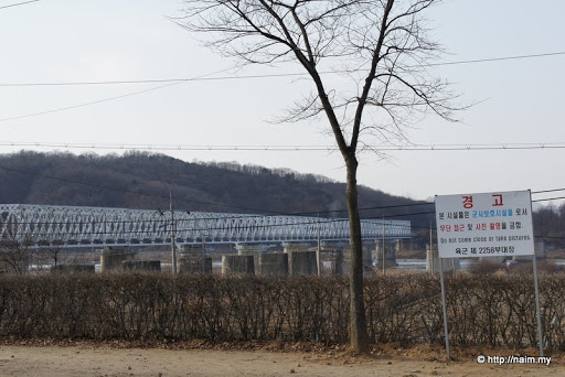
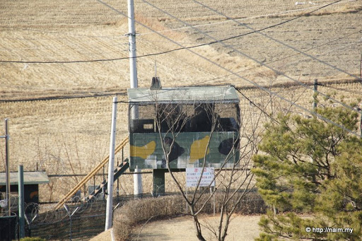
South Korean army posts dot the surrounding, and as the notice in the pic above warns, 'Do not come close or take pictures', so I snap this one from afar with a zoom lens.
===
 for sharing.