
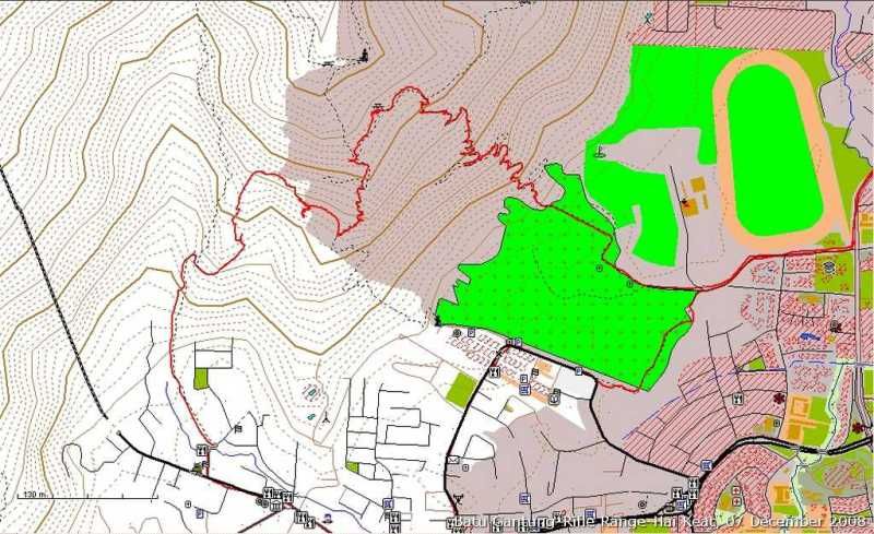
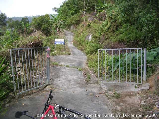
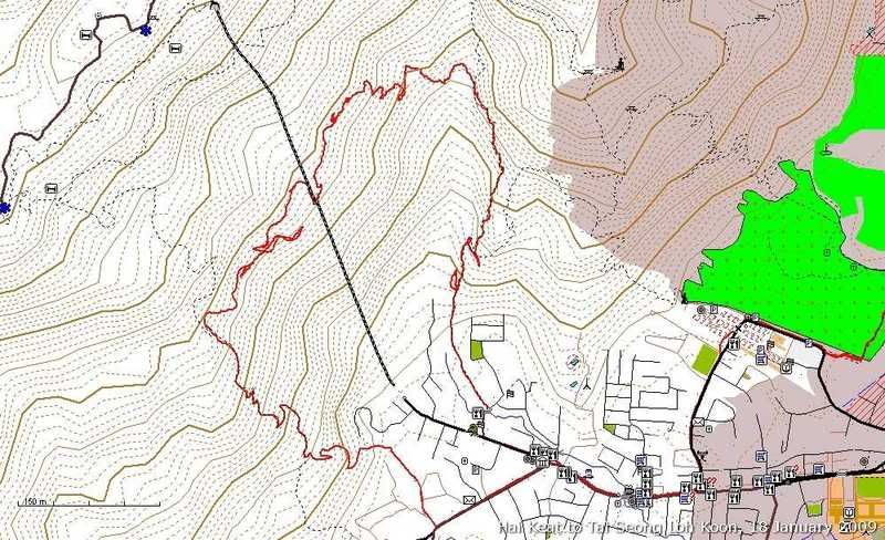
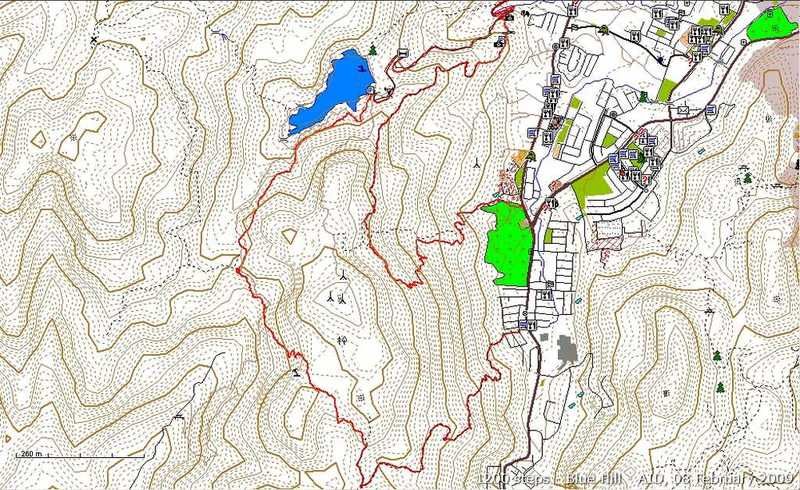
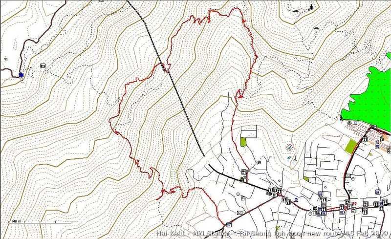
I rode the trail in Batu Gantung again this morning. I wanted to find out if the connecting trail that I saw at the peak of the climb when we did the ride from Rifle Range were going anywhere or not. From the map you can see it did going somewhere!
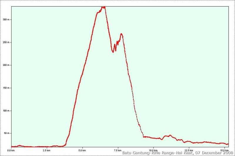
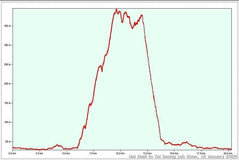
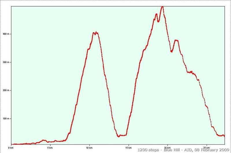
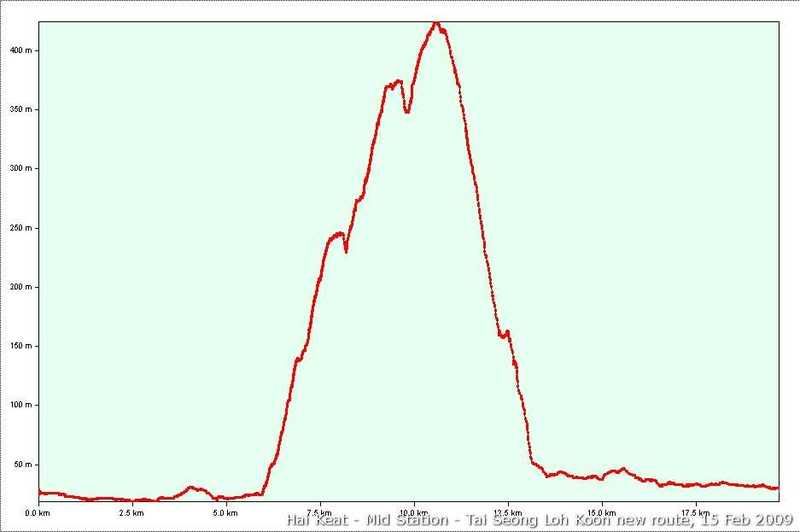
Profile of the trail. Total distance travelled: 16km(5km climb).
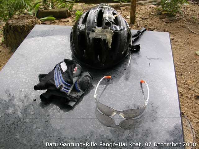
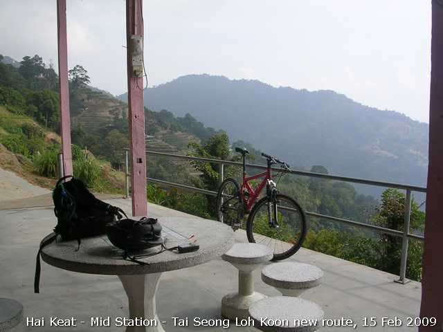
My 10 year old Bell Helmet, Azonic gloves and the King's goggle that I bought recently(scratch proof lens, very light and comfy and cost 10 times less than my Cateye goggles!). Picture taken at Station 45. I started from Batu Gantung instead of Rifle Range. Took me 25mins to climb that god forsaken slope!
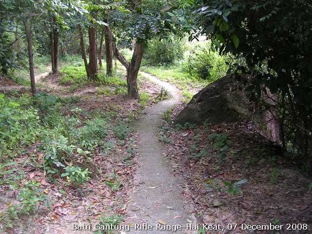
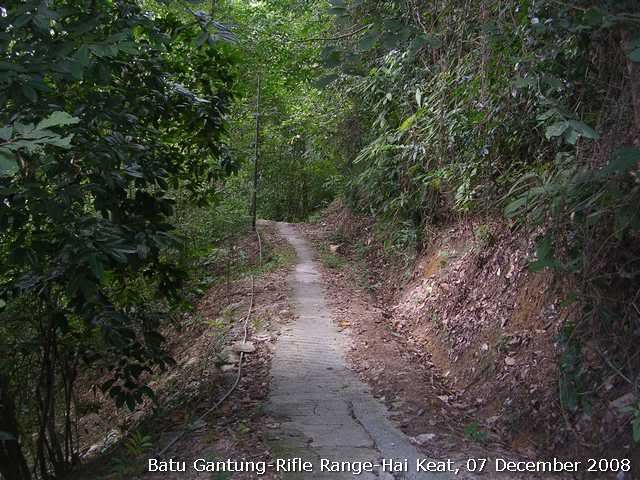
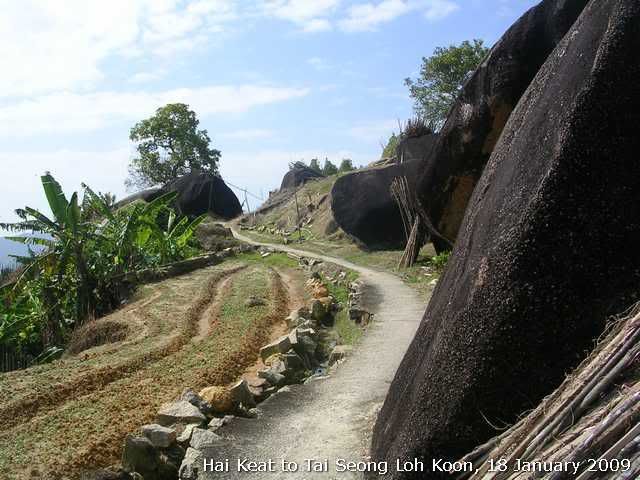
View of the cement farmer trail and run parellel to the stair case and run up from Rifle Range trail. Think it has been there before the stair was built. Btw, the stairs run up to 39.
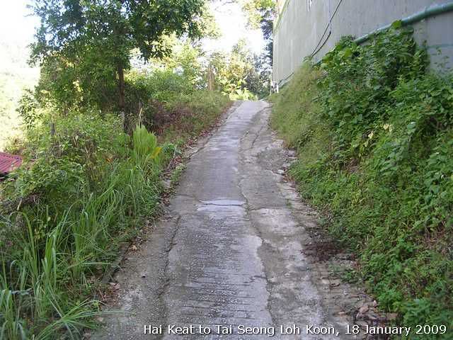
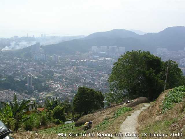
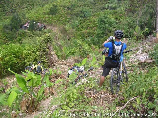
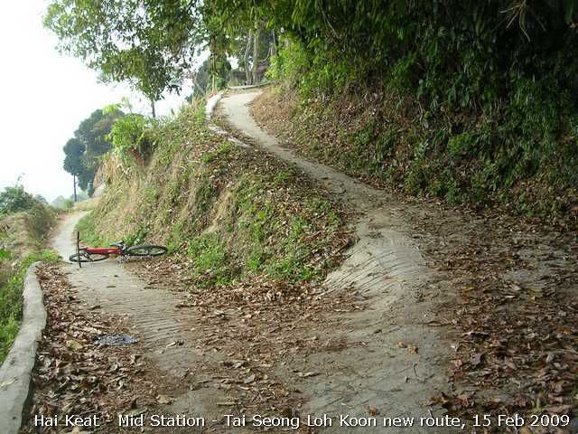
View of the connecting trail. You can see the slope from the picture. It is the steepest of the whole ride.
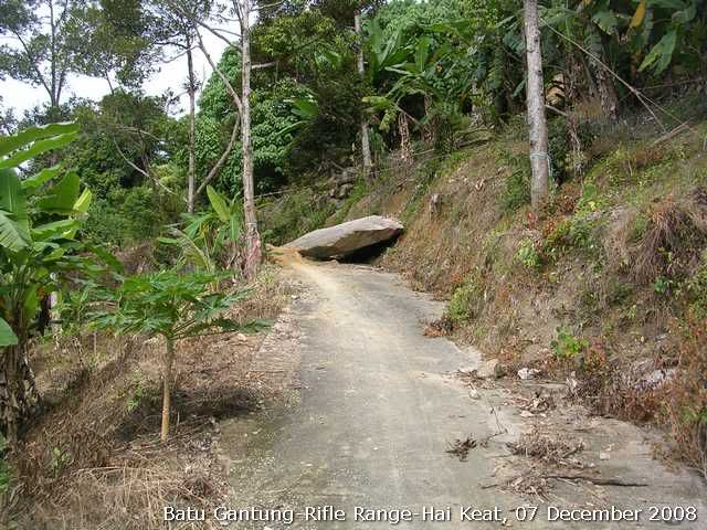
Fallen rock. Must be from the recent landslide due to incessant rain for the past few days.
When you see this hut the trail starts to go down, steeply!
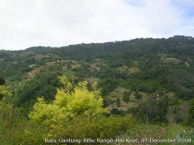
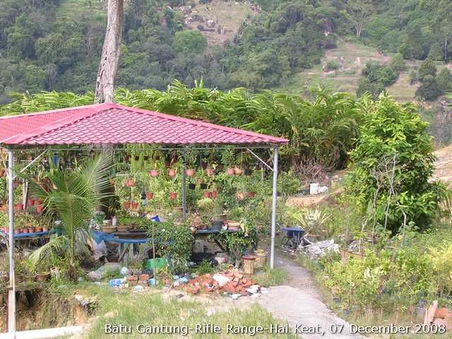
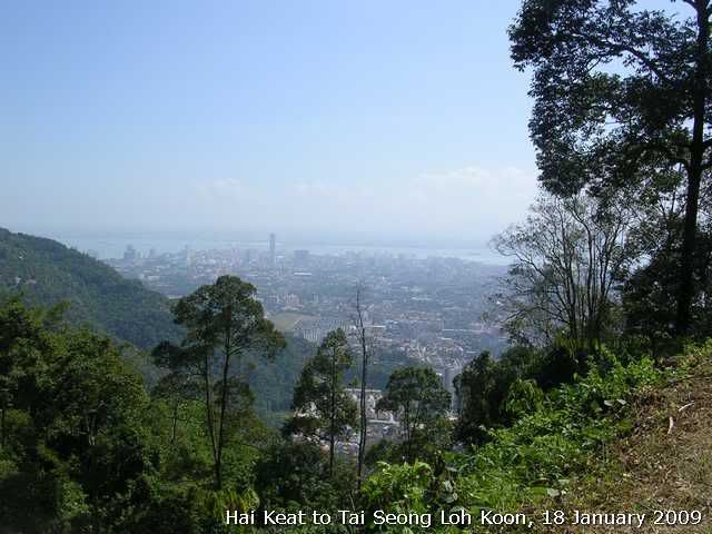
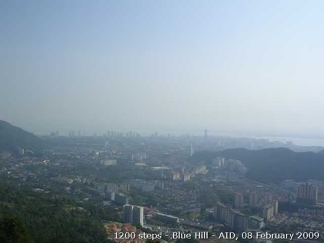
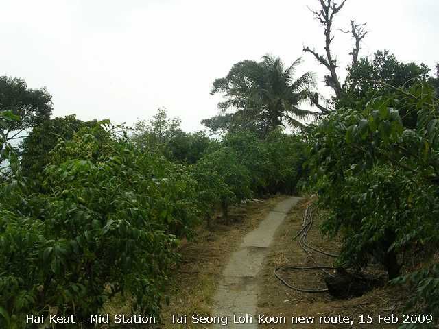
View of other orchards on the slope of Penang Hill. Many of them are illegal ones.
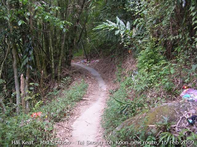
The trail continue to go down. You can see the traffic is mostly two wheelers.
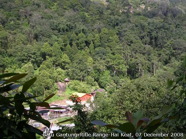
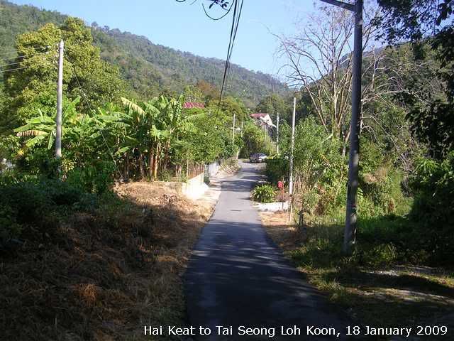
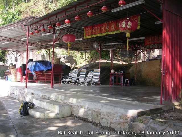
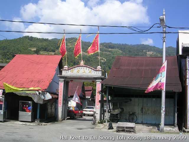
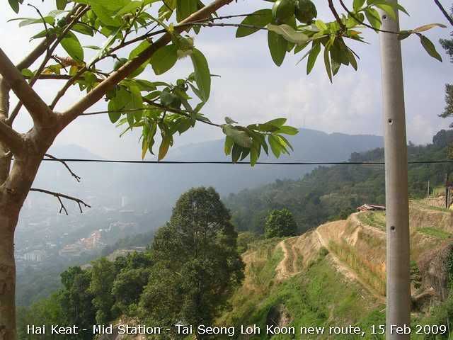
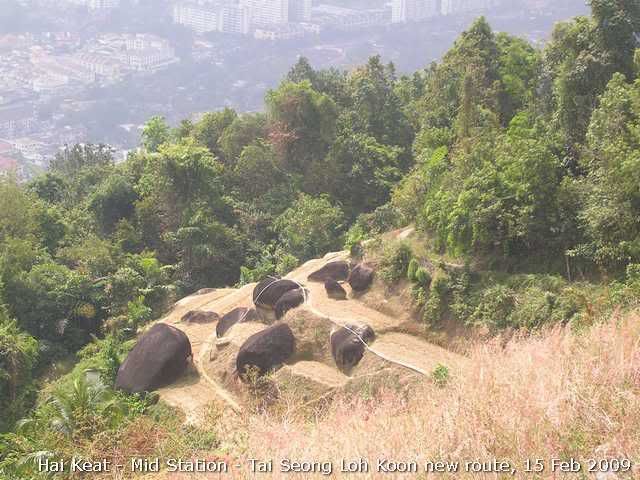
View of the Hai Keat village.
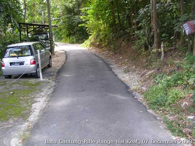
The trail widen up when approaching Hai Keat village.
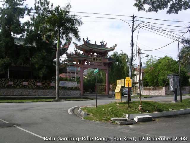
I came out from the Hai Keat village. This temple is Miao Xiang Lin temple before the Penang Hill foothill station.
Everytrail log: http://www.everytrail.com/view_trip.php?trip_id=86469
Tracklog:
Done! 236 - OngCC


 bro.
bro.