Enjoy.
Done! 233 - OngCC

Free Galactio, Garmin, iGO Primo, Papago and Polnav map for Malaysia, Singapore, Brunei, Indonesia and Thailand
Moderators: tympg, keong8260, Moderators, Regional Mappers

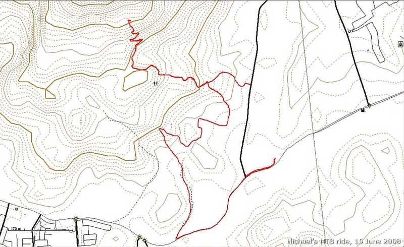
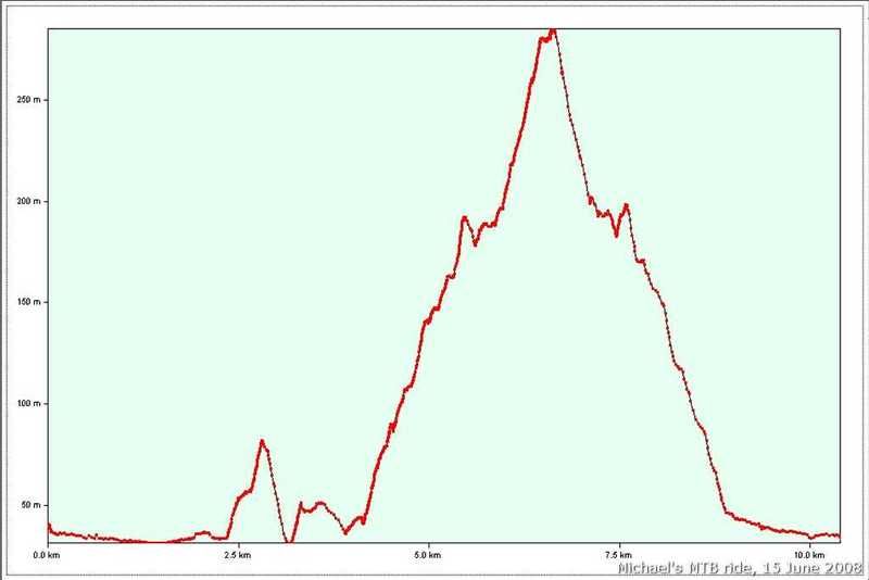
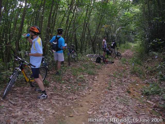
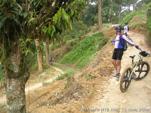
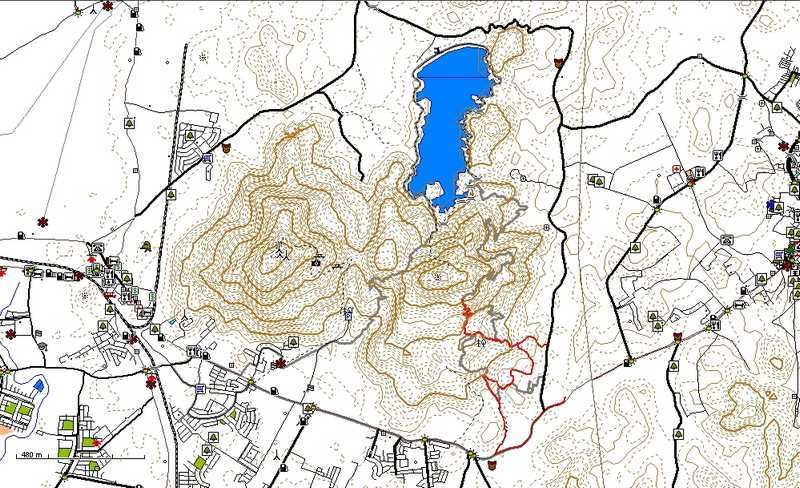
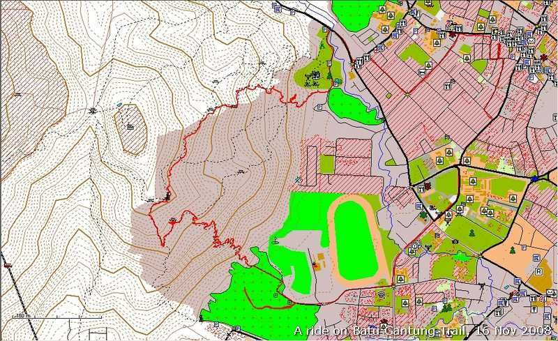
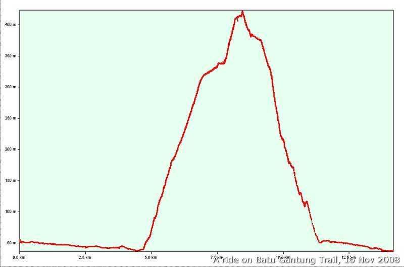
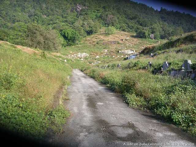
snail-works wrote:This GPS log was collected during the Bukit Mertajam Mountain Cross 2008, a mountain biking event. 60% is singletrek. I'm not sure the trail around the Menkuang Dam still can enter by bicycle or not after the event. Please see the trail profile, you need a strong legs to either cycle up or push up the hills....
Enjoy.


snail-works wrote:haha... the 'fun' always the same for every jamboree, 'massive jam' no matter uphill or downhill before the CP1
Read from the PCC MUDD newsletter, said that the last rider came back almost midnight, plus the Cameron night was chill, rain and dark.... wah, u guys are really superb

snail-works wrote:Wow, how's your right wrist now? everything ok? take care and hope you recovery soon.
Eh, how come i totally can't regonize the scenery when i saw your pictures.... maybe my brain had been shuted down during the ride coz of the push n push....
Hope PCC will have another MUDD in next year, so i can have chance to join.
tuah wrote:Great stamina!


Return to “Penang, Kedah & Perlis Map Feedback”
Users browsing this forum: No registered users and 10 guests

